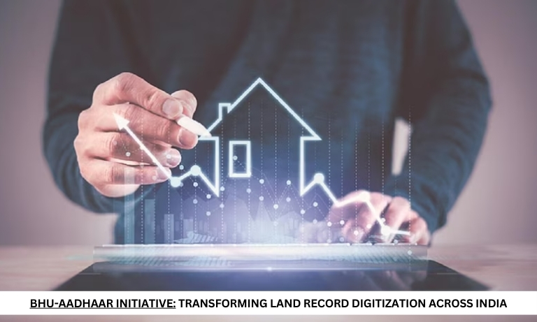
Bhu-Aadhaar Initiative: Transforming Land Record Digitization Across India
In the Union Budget 2024, the central government outlined an ambitious plan to digitize land records across rural and urban regions under the Bhu-Aadhaar initiative. This effort is part of a broader push to enhance land record management and streamline property transactions through technology. However, the successful implementation of this initiative nationwide within the projected three-year timeline poses several challenges that must be addressed.
Current Status of Land Record Digitization
As of now, land records are computerized in 24 of India’s 28 states. However, four northeastern states—Arunachal Pradesh, Meghalaya, Mizoram, and Sikkim—have not yet fully computerized their land records. This uneven progress underscores the need for a uniform system to standardize land record maintenance across all states.
In India, land records are managed differently across states. Five states—Maharashtra, Goa, Karnataka, Tamil Nadu, and Andhra Pradesh—maintain separate land records for urban and rural properties. In contrast, other states use a single land record system for both types of properties. This variance highlights the need for a cohesive approach to land record management.
Historical Context and Government Initiatives
The issue of inadequate capital support for digitizing land records has not deterred southern states like Karnataka, Andhra Pradesh, and Tamil Nadu. These states undertook digitization efforts independently from 2001 to 2007. Subsequently, in 2008, the Government of India launched the Digital India Land Records Modernisation Programme (DILRMP) to modernize the country’s outdated manual land records system.
What is Bhu-Aadhaar?
The Bhu-Aadhaar initiative involves generating a Unique Land Parcel Identification Number (ULPIN) for each land parcel. This unique identifier is stamped on the physical land record documents and remains permanently associated with the land, regardless of transfers, subdivisions, or other changes. The ULPIN system provides several benefits:
1. Unique Digital Identity: Each plot of land receives a distinct digital identity, reducing ambiguity and confusion in land records.
2. Accurate Records: ULPIN ensures precise land records through detailed ground-level mapping and measurement.
3. Dispute Reduction: By providing a clear and unambiguous identification system, ULPIN helps in minimizing land disputes.
Andhra Pradesh has set a benchmark by achieving 100% ULPIN coverage, making it the first state to fully implement this system. Other states, including Karnataka, Odisha, Telangana, Madhya Pradesh, and Chhattisgarh, have achieved 60-90% ULPIN coverage. However, states like Uttar Pradesh, Bihar, and Assam face delays due to administrative and operational challenges, including the unavailability of digitized cadastral maps.
Challenges in Digitizing Rural and Urban Properties
The digitization process for land records faces several challenges, particularly for rural and urban properties:
1. Inconsistent Records: In many states, the Department of Stamps and Registration records do not align with the Revenue Department’s records. This misalignment complicates the online mutation of property registrations.
2. Lack of Digital Mapping: Digital mapping of land parcels is incomplete in many states, especially for urban properties. Inadequate plot layout approvals and missing land geo-coordinates in title transfer documents exacerbate this issue.
Recommendations for Effective Implementation of Bhu-Aadhaar
To ensure successful execution of the Bhu-Aadhaar initiative across India, several measures should be considered:
1. Standardized Measurement Units: Develop a unified measurement standard for urban properties across states. For rural properties, adopting hectares as the standard measurement unit would facilitate consistency. Currently, rural land records use various vernacular units, such as bigha, biswa, and marla.
- Owner Information Integration: Incorporate a photograph of the landowner and land coordinates in the land record alongside the ULPIN. States like Andhra Pradesh and Telangana already include photographs of landowners for rural properties. Extending this practice and matching title deed document numbers with ULPIN can improve record accuracy and integrity.
- 3. Urban Property Details: For urban properties, link additional information such as plot layout approval details, property tax assessment numbers, and electricity connection numbers to the ULPIN. This integration will help urban bodies generate revenue and monitor electricity usage more effectively.
4. Expanded ULPIN Codes: Include additional digits in the ULPIN for urban and rural properties to specify land use classifications and crop patterns. This enhancement will provide more detailed information about land usage and agricultural practices.
5. Comprehensive Documentation: Ensure that documents, particularly sale deeds, include details of the land record number or ULPIN and geo-coordinates. For urban properties, additional information about plot layouts, tax identification numbers, and electric identification numbers should be mandatory to prevent property issues and ensure accurate records.
The Bhu-Aadhaar initiative represents a significant step forward in modernizing land record management in India. By addressing the challenges of inconsistent records, incomplete digital mapping, and varying measurement standards, and by implementing the recommended measures, the government can achieve a more uniform and effective land record system. This comprehensive approach will enhance transparency, reduce disputes, and streamline property transactions, ultimately benefiting landowners and administrative bodies alike.